How will BioDAR work?
BioDAR is using information collected by weather radar
Every five minutes in the UK, a large network of weather radar scan the sky to look for clouds and rain. These radar often detect insects and other animals in the sky, but this information is usually discarded by weather scientists.
Now, BioDAR is developing a way to recognise and quantify different species of insects in our skies using weather radar. This will uncover a treasure trove of new information about our wildlife.
There are four key stages of our research:
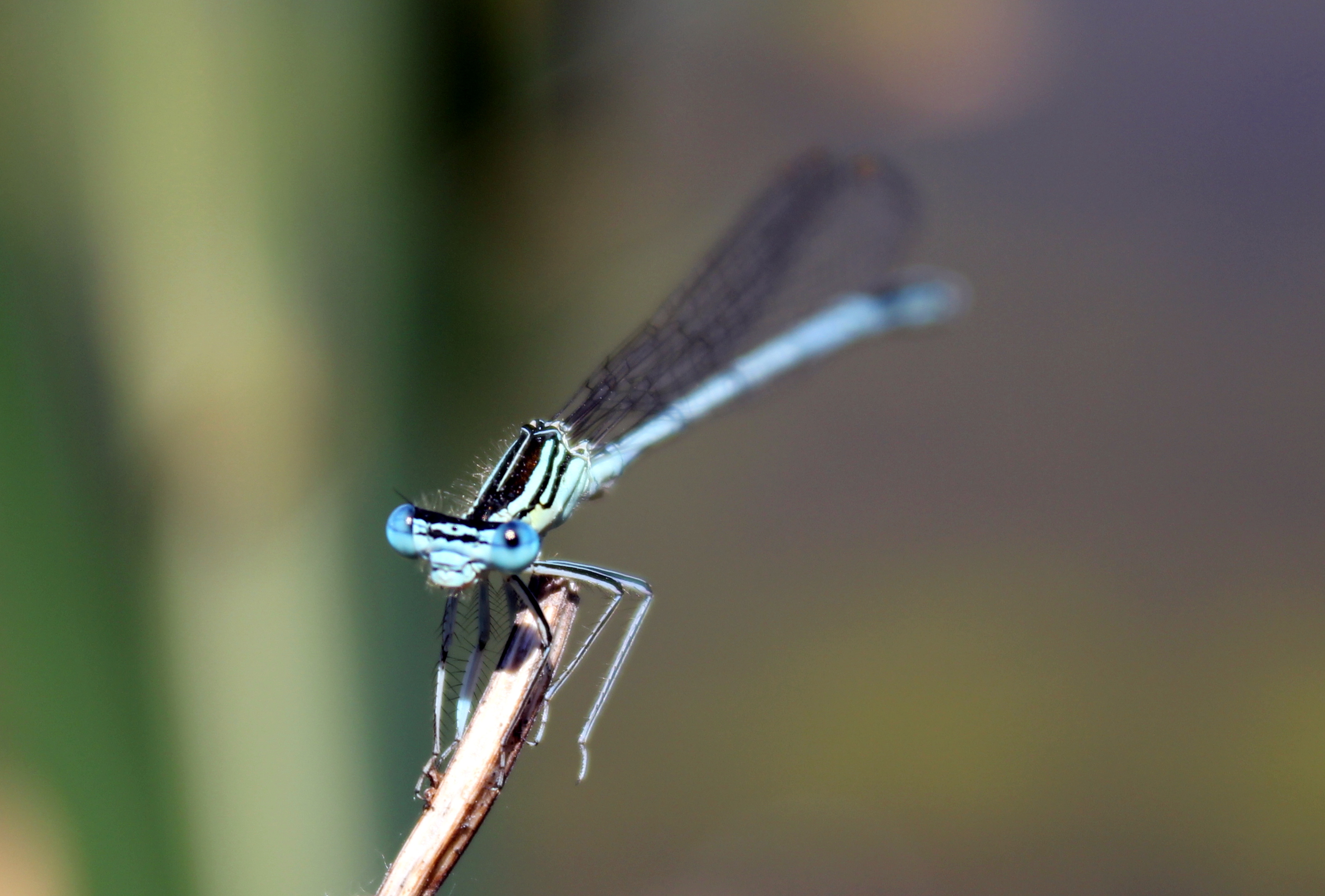
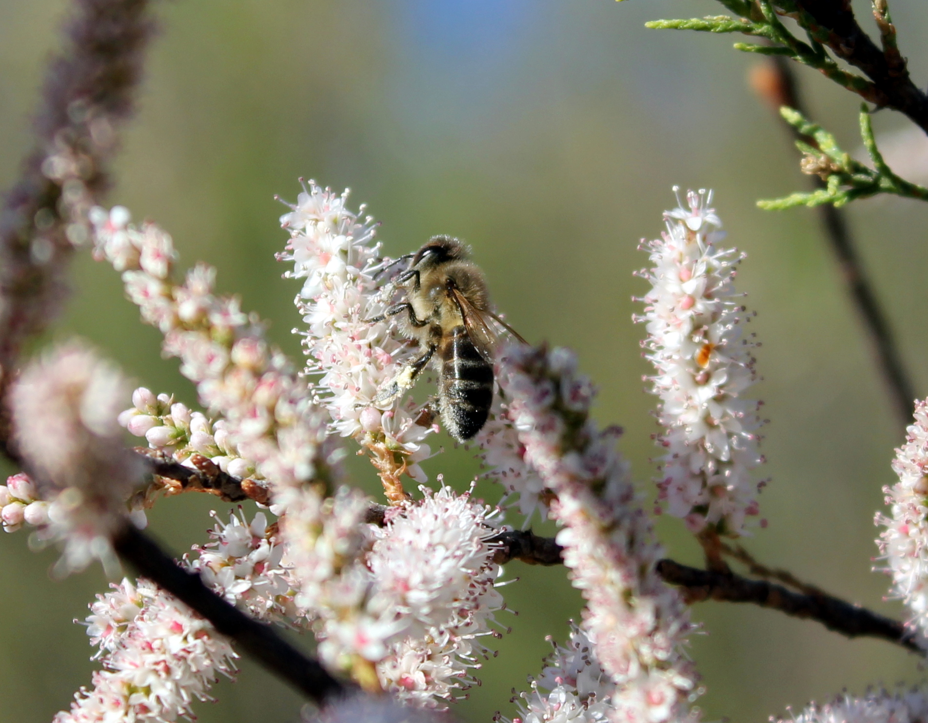
Creating 3D insect models
Our first challenge is to find out what different species of insects look like when they are seen by weather radar. Using advanced computer scanners, we can create superbly detailed 3D models of up to 60 different insects. The 3D models will give scientists a way to identify different insects when they are detected by the radar. This method has already been used to look at bats emerging from caves.
The computer models will show scientists what each insect looks like to a radar. Then, scientists can create algorithms which look at radar data and automatically detect the type of insect in the radar beam. This process is a little bit like following a set of rules through a flow chart. The computer will look at the shape of each object in the radar beam and classify the type and amount of insects found.
Testing our methods
To test our radar classifications, researchers will compare our findings against existing methods for monitoring insects and see if we get the same results. There are already several small-scale methods for measuring insect diversity and abundance, such as the insect light traps and suctions traps that are operated by our project partners at Rothamsted Research, and these provide a good way to check our results.
Another more novel way of testing the BioDAR radar detection method is to conduct insect sampling experiments. By releasing insects and small objects into the air, hundreds of metres above a radar, scientists will see how accurately that radar is able to classify the flying insects. This validation will help scientists to evaluate how well our algorithms are performing in a real situation, and fine-tune our classification methods before putting them into practice using the national radar network.
Creating a national map
By tapping into the national radar network, we will be able to produce a map of UK insect biodiversity and abundance. Using the BioDAR method, weather radar across the country will not only tell us about the rain and snow in the sky, but also about the insects.
A national map of insect diversity will help us understand how man-made changes to our landscape are affecting insects, including the impact of light pollution, urbanisation, and farming schemes.
Sharing the BioDAR method
Around the world, many other countries also use weather radar networks that could be used in the same way to monitor insect wildlife.
By making all of our data and analysis transparent, we hope that researchers will be able to replicate our work, and enable other countries to apply the BioDAR approach to their own weather radar networks.